Florida Department of Transportation
Florida Statewide and Regional ITS Architectures

Florida ITS Architecture Banner
 

Manatee County Unmanned Aerial Vehicles (UAV) for Traffic Monitoring Diagrams

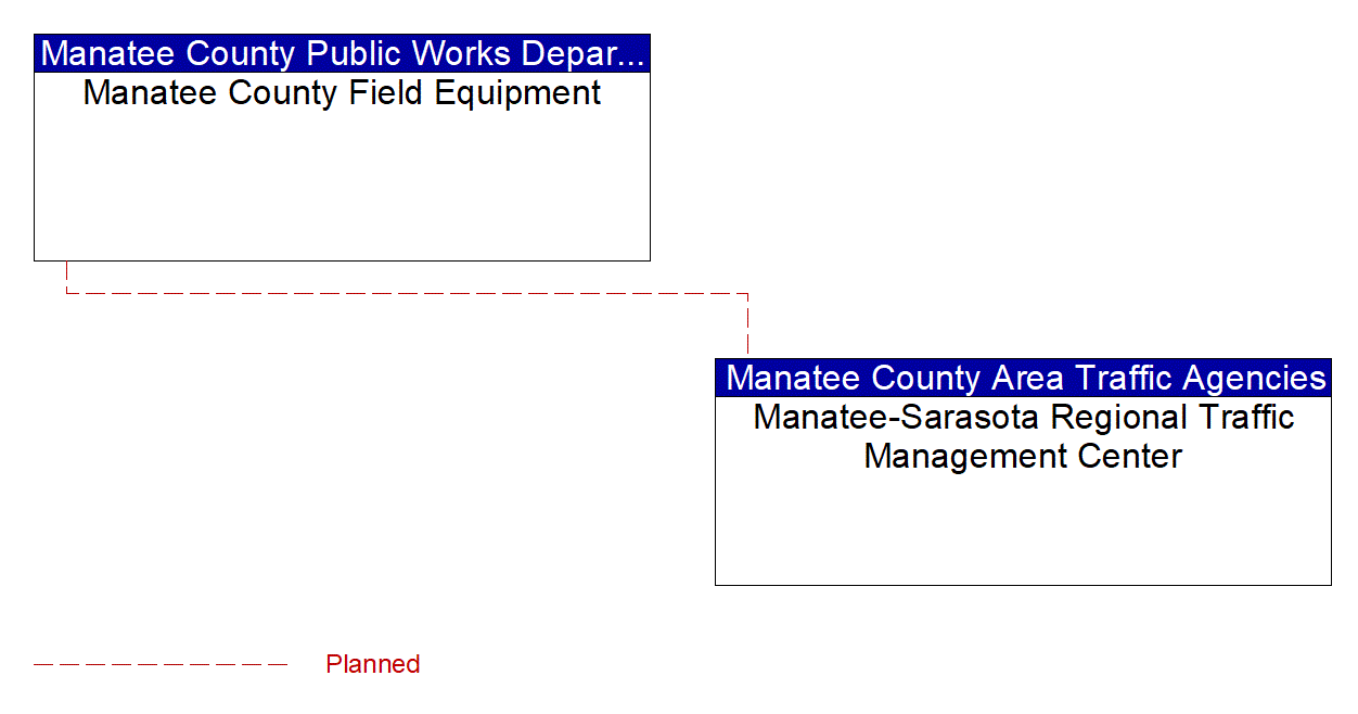
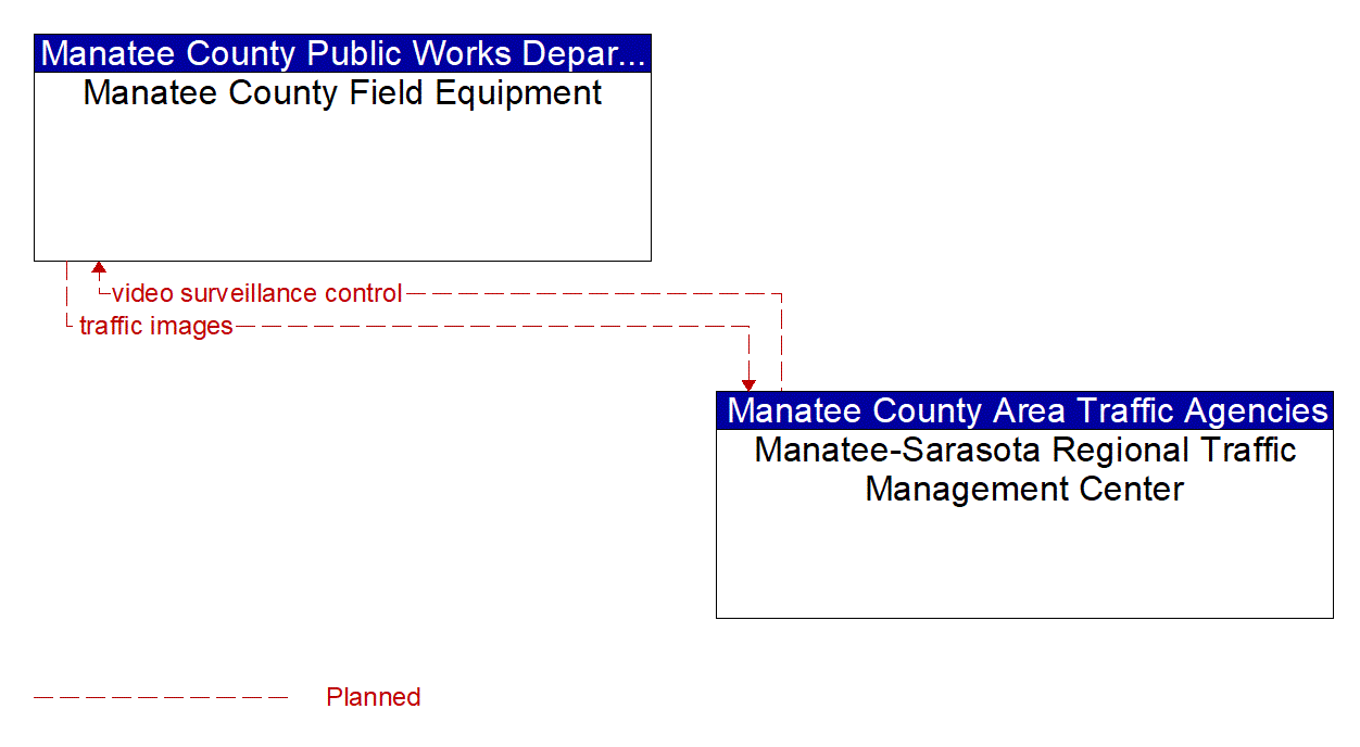
There are two diagrams below that represent this project. The first is an interconnect diagram that just shows what elements are connected to each other. The second is an information flow diagram that shows the information flowing between the connected elements.

Manatee County Unmanned Aerial Vehicles (UAV) for Traffic Monitoring Interconnect Diagram

Project Interconnect Diagram: Private Transit Fare Payment Mobile Application Providers

Manatee County Unmanned Aerial Vehicles (UAV) for Traffic Monitoring Information Flow Diagram

Project Information Flow Diagram: Private Transit Fare Payment Mobile Application Providers

Last Updated 5/25/2023